In West Valley City, what you see at the surface rarely tells the full story. The near-surface geology here is dominated by Lake Bonneville deposits—silts, clays, and fine sands that can vary dramatically over just a few hundred feet. When a project sits on these layered lakebed sediments, an exploratory test pit cuts through the guesswork. We open a direct window into the upper 10 to 15 feet of soil, letting the engineer observe stratification, moisture, and fill material in place. For shallow foundation design, underground utility routing, or forensic investigation after a settlement issue, nothing replaces eyes on the actual soil profile. Combined with grain-size analysis from pit samples, we quickly quantify the fines content that often governs drainage and frost behavior in the Salt Lake Valley.
A test pit in West Valley City often exposes the critical transition from desiccated crust to saturated Bonneville clay—exactly where bearing capacity drops and settlement risk rises.
Local geotechnical context
The Lake Bonneville clays beneath West Valley City are notorious for volumetric instability. During the dry summer months, the upper crust desiccates and shrinks; come winter and spring, moisture rebounds and the same soil swells. An exploratory test pit dug in August will look different from one opened in March—same location, different water content, different pocket penetrometer readings. If a designer relies on a single-season investigation without recognizing this cyclic behavior, the foundation may experience differential movement within the first two years. We also encounter undocumented fill in older industrial parcels near the 2100 South corridor: construction debris, ash, and organic silt that were never compacted to structural standards. Shallow footings placed on this material can settle unpredictably. A test pit exposes these buried problems before the concrete is poured, giving the design team time to adjust bearing elevations or specify a mat foundation where conditions demand it.
Applicable standards
IBC 2024 (Utah-adopted with local amendments), ASCE 7-22 Minimum Design Loads and Associated Criteria for Buildings and Other Structures, ASTM D2487 Standard Practice for Classification of Soils for Engineering Purposes (Unified Soil Classification System), ASTM D1586 Standard Test Method for Standard Penetration Test (SPT) and Split-Barrel Sampling of Soils (correlated when SPT is performed adjacent to pit), OSHA 29 CFR 1926 Subpart P (Excavation safety, shoring, and sloping)
Common questions
What depth can an exploratory test pit reach in West Valley City, and what limits it?
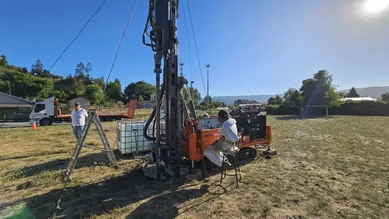
Most pits we excavate in the West Valley City area reach between 10 and 15 feet. The limiting factor is typically the reach of the excavator arm combined with OSHA sloping requirements for worker entry. In stable cohesive soils, a near-vertical cut can be achieved briefly for logging and photography; in granular or wet soils, the slope must be laid back to 1.5:1 or flatter per OSHA 1926 Subpart P. Groundwater infiltration can also halt progress—along the Jordan River corridor, we sometimes encounter water at 8 to 10 feet during spring runoff. For projects needing deeper exploration, we transition to SPT drilling at the same location and correlate the upper pit log with the deeper boring log.
What is the typical cost range for an exploratory test pit in West Valley City?
For a standard test pit in the West Valley City area—covering excavator mobilization, excavation to 10–15 feet, engineering logging, sampling, and compacted backfill—the cost generally falls between US$440 and US$770 per pit. The final figure depends on access constraints, whether traffic control or utility locates are required, and the number of pits on the same mobilization. Multiple pits on a single day bring the per-pit cost toward the lower end of that range.
How is a test pit different from a soil boring, and when is a pit the better choice in West Valley City?
A soil boring gives you a 2-inch-diameter cylinder of disturbed or semi-disturbed soil; a test pit gives you a full-scale wall of exposed stratigraphy. In West Valley City, where Bonneville lakebed deposits often contain thin silt seams, calcium carbonate nodules, and desiccation cracks, those fine details are far easier to identify and photograph in a pit wall than in a split-spoon sample. A pit also lets us take undisturbed block samples from a specific horizon—something nearly impossible with a drill rig. Pits are the better choice when the investigation depth is shallow, when visual confirmation of fill or contamination is needed, or when a utility contractor needs to know the exact soil type at trench depth.