West Valley City sits on the eastern edge of the Basin and Range Province, where the valley floor consists of deep, interbedded layers of Lake Bonneville sediments—silts, clays, and sands deposited over millennia. Just beneath the surface, groundwater is often encountered within 10 to 20 feet across much of the city, a critical factor when designing foundations. The Standard Penetration Test (SPT) remains the most direct method to measure the relative density and consistency of these soils, providing the N-values that structural engineers need to calculate bearing capacity and estimate settlement. Whether your site is near the Oquirrh foothills or in the central commercial corridors, understanding the stratigraphy through a properly executed SPT program is the first step toward a safe, economical foundation design. For projects with deep clay layers, we often pair the SPT with triaxial testing to define shear strength parameters under the anticipated loading conditions.
An SPT N-value without context is just a number. The real value lies in knowing the geology it was measured in.
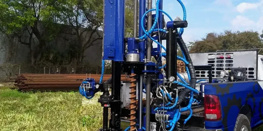
Process and scope
A common mistake we see on the Wasatch Front is assuming that blow counts alone tell the whole story. Contractors sometimes push the SPT sampler through gravel lenses, record high N-values, and conclude they have competent bearing material—only to discover later that the gravel was a thin, discontinuous seam over softer lacustrine clay. Our methodology, strictly aligned with ASTM D1586, uses a 140-pound hammer falling 30 inches onto the split-spoon sampler, with careful logging of each 6-inch increment. We note the drilling method, casing depth, and any wash water loss, because these details affect the interpretation. For sites where a continuous profile is needed, we supplement the SPT program with
CPT testing, which provides a cone resistance trace that reveals thin strata the SPT might miss. The resulting data feeds directly into bearing capacity calculations per IBC and ASCE 7, eliminating guesswork from your foundation design.
Local geotechnical context
The contrast between the eastern bench neighborhoods and the low-lying areas near the Jordan River illustrates why a uniform foundation approach fails in West Valley City. Up on the benches, you might hit stiff, overconsolidated Lake Bonneville clays at 15 feet, yielding N-values above 30. Down near 3500 South, the same depth can put you into loose, saturated sands with N-values below 10—material that's highly susceptible to liquefaction during a seismic event. The Magna earthquake of 2020 reminded everyone along the Wasatch Front that the ground here moves. If your SPT program doesn't account for the potential of pore pressure buildup in these saturated granular layers, you're designing on sand—literally. We run the SPT data through liquefaction triggering procedures developed by Seed and Idriss, and where needed, we recommend ground improvement strategies like stone columns to densify the deposit before construction begins.
Common questions
How deep do you typically drill an SPT boring in West Valley City?
For most commercial and residential projects in the area, borings extend to 30 or 40 feet, capturing the upper Lake Bonneville sediments. Taller structures or those with deep basements often require borings to 60 or 80 feet. We determine the final depth based on the anticipated stress bulb of the foundation, stopping when we reach material with N-values consistently above 50 or when the added stress becomes negligible.
How much does an SPT boring cost in West Valley City?
A typical SPT boring program in the West Valley City area ranges from US$550 to US$650 per boring for standard depths, depending on access conditions, drill rig type, and the number of SPT samples required. A complete geotechnical investigation with multiple borings, lab testing, and a stamped report usually falls between US$2,200 and US$5,500. We provide a fixed-price proposal after reviewing your site location and structural plans.
What is the difference between N-value and N60?
The raw N-value is the number of blows recorded in the field with the specific hammer and rod system used. N60 corrects that raw value to a standard energy ratio of 60%, accounting for hammer efficiency, rod length, sampler type, and borehole diameter. Most bearing capacity and liquefaction correlations require N60 or the further-corrected N1(60), which also normalizes for overburden pressure. We report all three values so you can trace the data lineage.
Do I need SPT testing if I already have a soils report from a neighboring lot?
Relying on a neighbor's report is risky in West Valley City. The Lake Bonneville sediments change dramatically over short horizontal distances—a 200-foot offset can mean the difference between dense sand and soft clay at foundation depth. The IBC requires site-specific investigation for any permanent structure. We can review the existing report and design a minimal scope to confirm continuity, but skipping borings entirely is rarely justified.
How long does it take to get the SPT results and final report?
Fieldwork for a standard investigation is typically completed in one to two days. We deliver preliminary N-value logs within 48 hours so your structural engineer can move forward with foundation sizing. The final geotechnical report, including lab test results, bearing capacity analysis, and stamped recommendations, is usually ready within 10 to 14 business days after the fieldwork concludes.